“All human plans are subject to ruthless revision by Nature, or Fate, or whatever one preferred to call the powers behind the Universe.”
Arthur C. Clarke – 2010 Space Odyssey
Planning a trip no matter how big or small always starts with a ‘key objective or mission’. Once established, only then begin to think of route selection, equipment, distances, time, travel planning and safety. So let’s start with our Mission. This is the objective of your trip, it allows you as an Expedition Leader to frame and estimate the magnitude of what’s to come. As an example – ‘I want to climb Everest’ could be the mission, or, ‘ Take a Panoramic photo from Pen Y Fan on Christmas Day’ could be the mission. Both differ hugely in their magnitude and planning, but, both will require you to fulfil a number of requirements to ensure the optimum chance of a success. Once established, you can then begin to backward engineer your trip and develop a plan on how to achieve said Mission.
A plan, consists of a number of definitive requirements that need to be fulfilled both prior, during and post you trip. As an example a requirement prior to your departure would be transport or logistical in nature. So, making sure you have the food you need, the gas you need to cook. Your waterproofs have been treated etc.
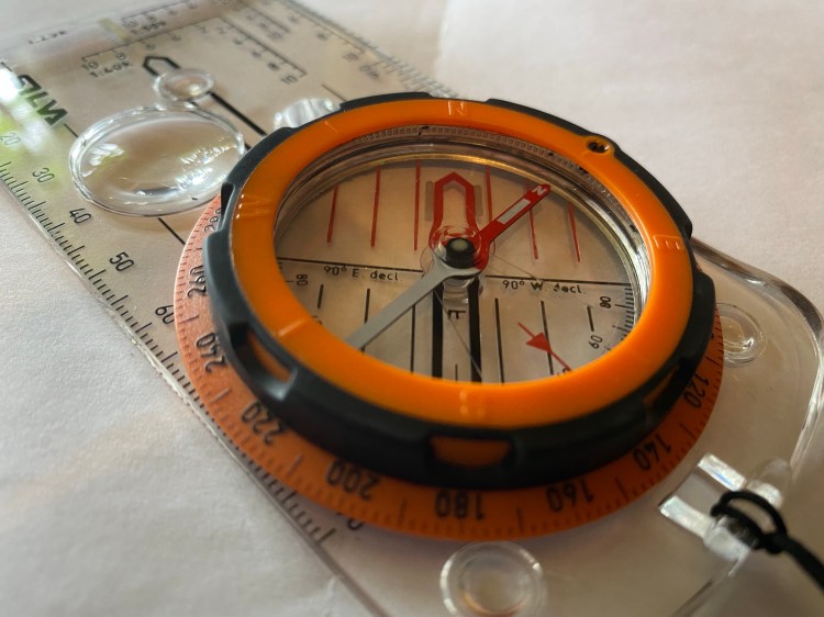
The next phase would be a breakdown of logical legs, this is commonly referred to as route selection . This is planned using your chosen navigational tool, either virtual or using a straightforward map (if you are unfamiliar with navigation using a map and compass, there are some excellent resources online, use these, produce maps in an area that is local to you and practice – you’ll soon gain confidence in taking bearings, pacing etc.). I also have a 3D panorama of Snowdonia for instance, a great aid for visualisation of the route you are planning and relatively cheap to buy.
Once you have selected your route you then need to think about the activity you want to conduct at various checkpoints. This site is generally concerned with photography, so plan/execute your shooting sequence during this phase taking into account scene framing and set-up. You need to consider the time & equipment implications here (you do not want to arrive at the summit of Pen Y Fan 30 minutes after sunset – or with no batteries or filters). A big mistake both the experienced and novice hillwalker make is to disregard the descent. Most will be tired at this point of their trip, allow extra time if you are not comfortable with night time navigation and don’t forget your head torch. This is extremely important for the photographer who will generally be taking most of their key photography at sunset.
Next, you have to consider your post trip requirements, generally ‘kit clean up/return’ or photo post-processing. As per my Equipment Post, ensure you dry everything fully before storage, you do not want mouldy equipment on your next outing. It is common to see folk dump their kit in the garage for weeks after a particularly wet or gruelling trip – this post traumatic avoidance will only cost you money in the long term. Also, take time to assess the successes and failures of your trip, establish the formula for why things went well or badly. Incorporate these factors into your next trip.
All of these phases and subsequent sub-phases will need to be assessed individually, This obviously becomes a more arduous task the longer or more complex your trip is, however, by breaking it down into analytical phases you will ensure a more successful outcome. The process will become extremely natural to you after a few trips and ultimately ensure a far happier more confident expedition.
Finally, if you are a Solo walker always leave a copy of your route both with a loved one at home and in the car. This is particularly important in an emergency. If you have a means to communicate, send a message at key stages so nobody at home is worrying. I use a Garmin 66i, which has an Iridium capability, not only does this allow your loved ones to track your trip via a web page, but also allows you to send messages (albeit painfully). It even has an SOS function which allows Mountain Rescue to locate you in the worst case scenario.
Stay Safe and Happy Hiking..
Mark
